One roof, one storm, one flight.
A hail claim turns on what the roof looks like right now. Old aerial photos can't show it, and sending an adjuster up a ladder takes days.
- Who asks
- The insurer's claims agent, under a mandate. It posts the survey the moment a hail claim is filed.
- Who does it
- A licensed drone pilot nearby, through the marketplace. The homeowner only says yes.
- Where
- The policyholder's parcel and nothing else, with their consent and inside the flight rules.
- Evidence
- Geotagged images and the drone's flight log, captured live. No old survey, no satellite tile.
- Who pays
- The insurer: $35 to the pilot, paid on accept. Example figure.
- Who decides
- A human adjuster decides the claim. Teleport proves the imagery, not the payout.
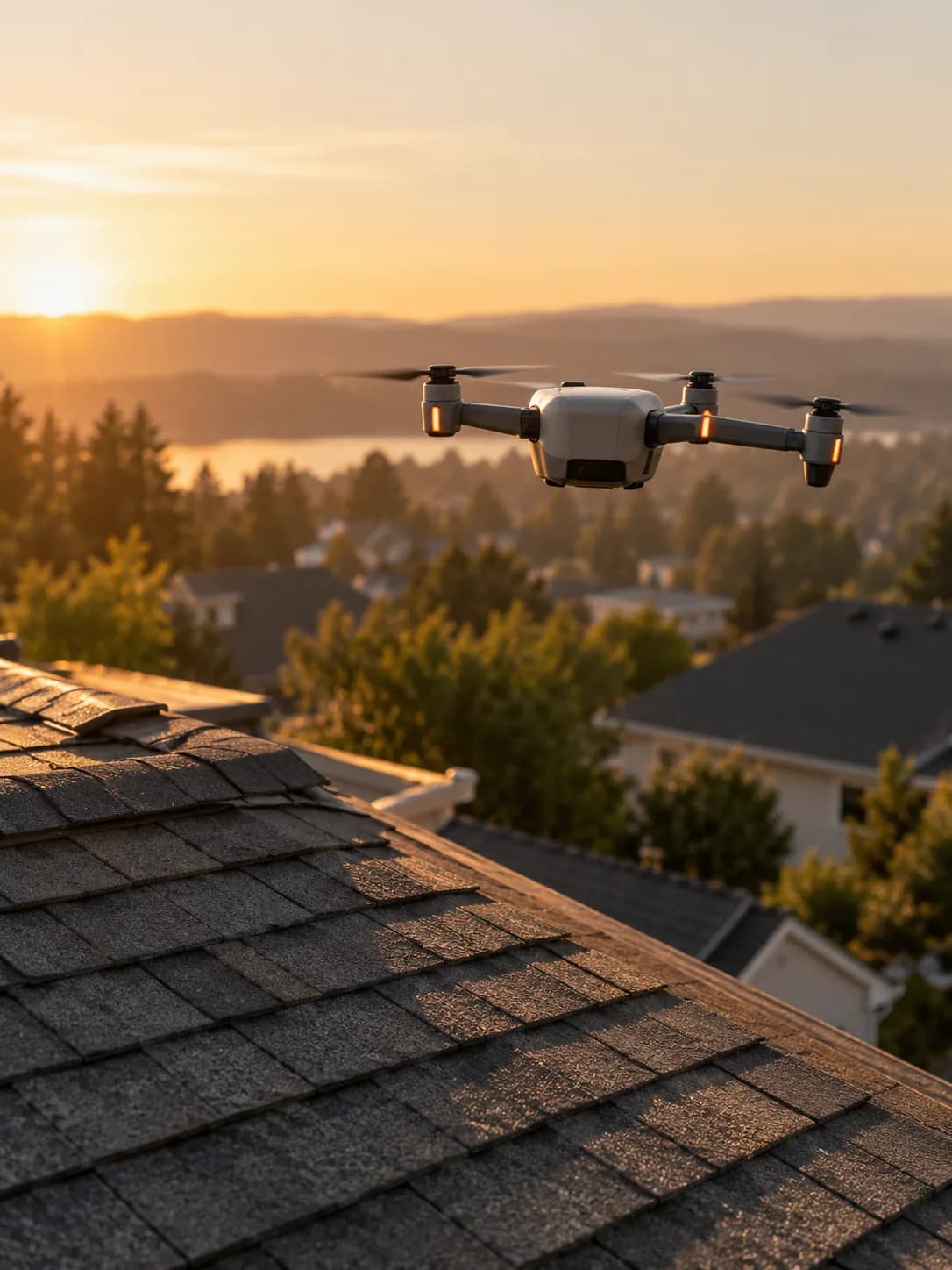
Last spring's satellite photo can't tell you what fell on Tuesday.
Nearly every check is arithmetic on the flight log: where, when, how much of the roof, how sharp. The model only points at likely strikes, and a person decides what they mean.
Fly a drone commercially? Join the contributor waitlist
14 Alder Way, Harborline Mutual and claim C-4471 are fictional. Prices are illustrative.
Every facet, sharp enough. Then the flags.
The survey isn't done when the drone lands. It's done when every facet of the roof is covered at the resolution the adjuster needs. Only then does the model mark where hail probably hit.
From claim to adjuster, in six steps.
The insurer asks, a pilot flies, the adjuster decides. Teleport makes sure the pictures in between can be trusted.
- 01
Claim filed
A hailstorm crosses town on Tuesday. On Wednesday morning, a policyholder files a claim for their roof.
- 02
Post the survey
The claims agent posts one task: image this roof, every facet, at 0.5 cm per pixel or better, today. $35.
- 03
Match a pilot
Pilots nearby see it. Only those with a checked remote-pilot certificate can claim it.
- 04
Fly the roof
The flight app plans the passes over the parcel. Every image is geotagged and logged as it's taken.
- 05
Check the coverage
Rules check the place, the time, the coverage and the sharpness. A model marks likely strikes, facet by facet.
- 06
To the adjuster
The pilot is paid on accept. The adjuster gets the images, the strike map and the proof, and decides the claim.
Six rules, and a model that only flags.
Acceptance rests on the rules. The model's strike map goes to the adjuster as a finding: useful, but never the thing that pays or denies a claim.
| Check | How | By | Result |
|---|---|---|---|
| The right roof | Image GPS and the flight log inside the parcel geofence, matched to the address on the claim. | Rule | Passed |
| After the storm | Every image taken after the reported storm time, by trusted device time, not the drone's clock alone. | Rule | Passed |
| Every facet covered | Each of the six facets in overlapping images, with no gaps in the coverage map built from the flight log. | Rule | Passed |
| Sharp enough | Ground sample distance at or under 0.5 cm per pixel on every facet. Blur and exposure within bounds. | Rule | Passed |
| Flown by the rules | Remote-pilot certificate on file. Altitude, daylight and no-overflight limits held throughout the log. | Rule | Passed |
| Not reused | Captured live by the flight app. No image matches an earlier survey of this roof or any other. | Rule | Passed |
| Hail strikes flagged | A model marks likely strikes per facet for the adjuster. It flags; it doesn't decide the claim. | Model | Passed |
A facet missed, or blurry? The flight app says so before the pilot packs up, and a re-fly goes back out. The insurer sees “needs another pass”, not a quiet pass.
§ 05 · Privacy and airspace
This roof only. Nobody flown over.
A drone over a street sees more than one house. The policyholder agrees to the flight; the neighbours didn't. Their yards are cropped, anyone in frame is blurred, and the flight stays inside the parcel and inside the rules.
- Asks for
- Roof imagery after a reported storm
- Who flies
- Licensed remote pilots only, certificate checked
- Where
- Inside the parcel, under the altitude limit
- When
- Daylight, after the storm, homeowner's yes on file
- Privacy
- Neighbours cropped, people blurred
- Scope
- Imagery verified. Damage is the adjuster's call.
- Budget
- Up to $35 a survey, one per policy per storm
Its hash goes into every proof this mandate pays for.
What needs care.
A flying camera, a claim with money behind it, and a street full of people who never asked to be in the picture.
Imagery, not the claim
The proof says when, where and how the roof was captured. Whether the claim pays, and how much, stays with the adjuster, and the proof says that too.
Licensed pilots only
Commercial drone flights need a certified remote pilot. The certificate is a checked capability with an expiry, not a box someone ticked.
The neighbours didn't sign up
Only the policyholder's parcel is kept. Next-door yards are cropped and anyone in frame is blurred before the images leave Teleport.
Airspace comes first
Near an airport or in restricted airspace, the task waits for an authorisation, or goes to a ladder-and-phone inspection instead.
One storm, one survey
After a big storm the same roof can be claimed twice. One task per policy per storm, plus duplicate checks, stops paying twice for the same flight.
Weather can wait
Wind, rain and low light make bad images. The window runs to the next evening, and a pilot who waits out the weather isn't marked down for it.
Imagery the adjuster can rely on.
The receipt goes in the claim file next to the images. Anyone reviewing the claim later can check where, when and how the roof was captured, and which policy accepted it.
Dollars or USDC pay the pilot. The claim itself is the insurer's. Nobody needs $PORT to post a survey or get paid for one.
- Task
- Roof hail survey · 6 facets
- Requested by
- Claims agent, for the insurer
- Performed by
- Drone · licensed remote pilot
- Evidence
- 212 geotagged images + flight log
- Coverage
- 6 / 6 facets · 0.44 cm/px worst
- Captured
- After the storm · within 24 h
- Policy
- roof-survey v1.0
- Decision
- Accepted
- Paid
- $35.00 to the pilot
STATUS: FINAL
The claim decision: the adjuster's. The proof covers the imagery.
For builders.
An INSPECT task with an EXTERNAL_WEBHOOK trigger from the claims system, MARKETPLACE fulfillment to a DRONE performer with a checked pilot licence, and coverage and sharpness checked against the flight log.
PhysicalTaskSpec · roof surveyTAP v0.2 · preview, subject to change
{
  "schema": "teleport.tap.physical-task",
  "version": "0.2.0",
  "title": "Image this roof for hail damage — claim C-4471",
  "category": "INSPECT",
  "requester": {
    "requesterType": "AI_AGENT",
    "principal": { "principalType": "ORGANIZATION" },
    "mandateId": "mdt_harborline_roof_survey_v1"
  },
  "trigger": { "type": "EXTERNAL_WEBHOOK", "sourceRef": "claims:fnol:C-4471" },
  "fulfillment": { "mode": "MARKETPLACE" },
  "environment": {
    "siteRef": "parcel:14_alder_way",
    "siteConsentRef": "consent_policyholder_C-4471_v1"
  },
  "actorRequirement": {
    "permittedActorTypes": ["DRONE"],
    "requiredCapabilities": [
      { "capability": "CAPTURE.AERIAL_ROOF" },
      { "capability": "LICENSE.REMOTE_PILOT", "attributes": { "verified": true } }
    ]
  },
  "completionConditions": [
    { "type": "LOCATION", "id": "on_parcel", "zoneRef": "parcel:14_alder_way",
      "relation": "IN", "verificationMethod": "DETERMINISTIC" },
    { "type": "MEASUREMENT", "id": "after_storm", "metric": "capture_time_minus_event_time",
      "unit": "s", "min": 0, "verificationMethod": "DETERMINISTIC" },
    { "type": "CUSTOM", "id": "facet_coverage", "namespace": "teleport.aerial",
      "config": { "facets": "ALL", "minOverlapPct": 70 }, "verificationMethod": "DETERMINISTIC" },
    { "type": "MEASUREMENT", "id": "gsd", "metric": "ground_sample_distance",
      "unit": "cm_per_px", "max": 0.5, "verificationMethod": "DETERMINISTIC" }
  ],
  "verificationPolicy": { "policyId": "roof-survey-v1", "version": "1.0" },
  "rightsPolicy": { "policyId": "claims-file-redacted-v1" },
  "economics": {
    "performerPayUsdCents": 3500,
    "settlementAssets": ["FIAT", "USDC"],
    "requesterPayment": { "method": "MANDATE_BUDGET" }
  },
  "popw": { "required": true, "assurancePolicyId": "VERIFIED", "proofTiming": "PER_EPISODE" },
  "timing": { "expiresInSeconds": 129600, "priority": "HIGH" },
  "metadata": { "verificationScope": "IMAGERY_ONLY" }
}
Proposed additions this use case surfaced
- Coverage conditions
- A standard way to say “every facet of this roof, in overlapping images, at this resolution”, checked against the flight log rather than eyeballed.
- Airspace capabilities
- Remote-pilot certificates and airspace authorisations as checked capabilities, with the authorisation reference committed to the proof.
- Verification scope
- The same addition the construction case needs: what an accepted proof asserts (the imagery) and what it doesn't (damage, cause, payout), shown on the proof page.
- Incidental-data rules
- Neighbouring property and passers-by in frame: cropped or blurred before delivery, with the proof recording that it was done.
- Outcome events for claims
- A signed “survey accepted” event a claims system can attach to the file, with the claim reference hashed rather than exposed.
Example economics: $35 to the pilot per accepted survey, paid on accept; Teleport's fee for verification and the proof is billed to the insurer on top. Developer docs
Insurers and claims teams
Need today's roof, not last year's?
Tell us the regions and the claim volume. We're working with design partners on storm-response surveys.